Файл:Germany adm location map.svg

Эх файл (SVG файл, 1,073 × 1,272 пиксэл, файлын хэмжээ: 643 КБ)
Товч агуулга
| Тайлбар |
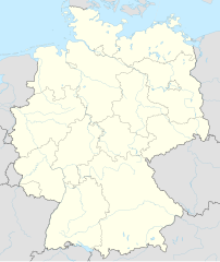
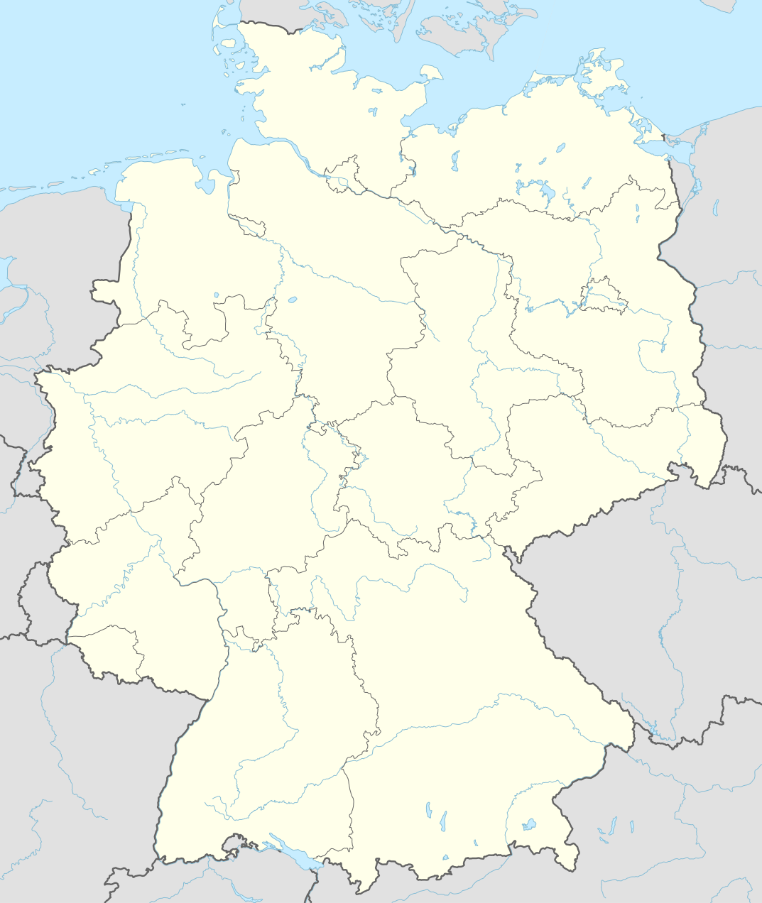
Deutsch: Positionskarte von Deutschland
English: Location map of Germany
|
||||||||||||
| Огноо | |||||||||||||
| Эх үүсвэр |
Own work using:
|
||||||||||||
| Зохиогч | NordNordWest | ||||||||||||
| SVG genesis | This world map was created with Adobe Illustrator by NordNordWest.
|
||||||||||||

Лиценз
Usage of this file with:

explanatory notes: Legally binding is only the full legalcode. For a free usage I recommend to respect the following licence conditions:
1. Provide my name as given above: NordNordWest,
2. a copy of, or the URI for, the applicable license: https://creativecommons.org/licenses/by-sa/3.0/de/legalcode,
3. the title of the work,
4. in the case of an adaptation, a credit identifying the use of the work in the adaptation.
This license and the rights granted hereunder will terminate automatically upon any breach by you of the terms of this license. Any of the above conditions can be waived if you get permission from the copyright holder. If you have questions or wish differing conditions, please contact me through nnwest or my discussion page ![]() t-online.de
t-online.de
- Та чөлөөтэй:
- хуваалцах – бүтээлийг хуулбарлах, түгээх, дамжуулах
- ремикс хийх – ажлыг тохируулах
- Дараах нөхцөлд:
- хамаарал – Та зохих кредитийг өгч, лицензийн холбоосыг өгч, өөрчлөлт оруулсан эсэхийг зааж өгөх ёстой. Та үүнийг ямар ч боломжийн аргаар хийж болно, гэхдээ лиценз олгогч таныг эсвэл таны хэрэглээг зөвшөөрөхгүй.
- адилхан хуваалцах – Хэрэв та материалыг дахин найруулах, хувиргах эсвэл бүтээх юм бол same or compatible license-ийн дагуу өөрийн хувь нэмрийг эх хувьтай нь түгээх ёстой.

Файлын түүх
Огноо/цаг дээр дарж тухайн үеийнх нь файлын байдлыг харна уу.
| Огноо/Цаг | Жижиг зураг | Хэмжээ | Хэрэглэгч | Тайлбар | |
|---|---|---|---|---|---|
| одоогийн | 17:46, 15 Есдүгээр сар 2014 | | 1,073 × 1,272 (643 КБ) | NordNordWest | == {{int:filedesc}} == {{Information |Description= {{de|1=Positionskarte von Deutschland}} {{en|1=Location map of Germany}} {{Location map series N |top=55.1 |bottom=47.2 |left=5.5 |right=15.5 }} |Source={{Own using}} * United States National Imagery a... |
Холбоос
Дараахь хуудсууд уг файлтай холбогдсон байна:
- Айзенах
- Аугсбург
- Бишофсхайм (Майншпитце)
- Бонн
- Брауншвайг
- Бремен
- Бюдингэн
- Вилдполдсрид
- Висбаден
- Вольфсбург
- Дармштадт
- Дортмунд
- Дресден
- Дюссельдорф
- Заарбрюкен
- Кайзерслаутерн
- Киль
- Кёльн
- Магдебург
- Майнц
- Майны Франкфурт
- Мюнхен
- Нюрбургринг
- Нюрнберг
- Потсдам
- Райны Бибесхайм
- Росток
- Рюсселсхайм
- Франкфурт (Одер)
- Халле (Заале)
- Хамбург
- Ханновер
- Хюрт
- Цуффенхаузен
- Швангау
- Штутгарт
- Эрфурт
- Эссен
- Загвар:Байршлын карт Герман
Файлын хэрэглээ (бүх төсөл)
Дараах бусад вики энэ файлыг ашигладаг:
- af.wikipedia.org дахь хэрэглээ
- Heiligendamm
- Lughawe Frankfurt
- Züsedom
- Breinigerberg
- Passau
- Berlyn-Brandenburg Internasionale Lughawe
- Caputh
- Tempelhof-lughawe
- Brobergen
- Bayreuth
- Bimmen
- FIFA Sokker-Wêreldbekertoernooi in 2006
- FIFA Sokker-Konfederasiebeker in 2005
- Kronberg im Taunus
- Eschborn
- Schwalbach am Taunus
- Steinstücken
- Eltville am Rhein
- Bad Homburg vor der Höhe
- Friedrichsdorf
- Hanau
- Limburg an der Lahn
- Lorsch
- Gelnhausen
- Gießen
- Königstein im Taunus
- Freudenstadt
- Sylt (munisipaliteit)
- Kiedrich
- Selters (Taunus)
- Hochheim am Main
- Sellin
- Friedersdorf (Heidesee)
- Oberbillig
- Neuendettelsau
- Geesterivier
- Hamburg Lughawe
- Düsseldorf Lughawe
- Duitse nasionale krieketspan
- ar.wikipedia.org дахь хэрэглээ
Энэ файлын дэлхийн хэрэглээг харах.